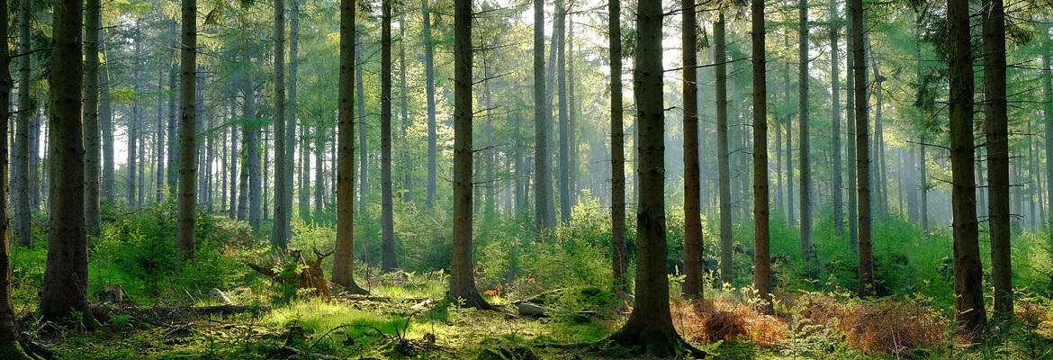
Lahore: Punjab has introduced state-of-the-art thermal imaging technology for 24/7 satellite-based forest monitoring, making it the first province in Pakistan to adopt this advanced system for environmental protection.
The newly launched technology enables real-time detection of forest fires, illegal tree cutting, and unauthorized activities. Initially, monitoring through thermal imaging has begun in the forests of Murree and Rawalpindi, with nighttime patrolling also being ensured.
The system uses modern satellite technology to detect temperature fluctuations, while live feeds provide continuous surveillance. A dedicated team of artificial intelligence experts is overseeing its implementation to enhance data processing, analysis, and report generation.
Senior Provincial Minister Marriyum Aurangzeb emphasized the initiative’s role in forest conservation, stating, “We will neither allow deforestation nor forest fires. Illegal hunting will also be prevented, and now criminals will be caught through modern technology.”
Beyond forest protection, she highlighted that the system would aid in crime prevention in urban areas and support the development of agriculture, livestock, and fisheries. The initiative is expected to strengthen afforestation efforts and safeguard Punjab’s wildlife resources.
Samra Zulfiqar, a real estate analyst at Zameen.com, is passionate about finding projects that offer buyers the best returns. Her keen insights spotlight the market’s most promising opportunities.