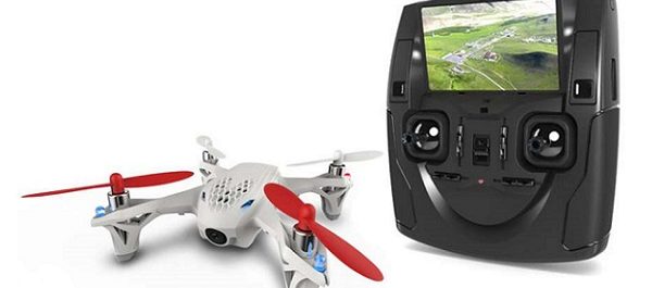
Lahore: For property demarcation in Punjab, the provincial government has decided to use drones, states a news report.
A representative of the Punjab government told reporters that the drone technology will ensure accurate land mapping and help fix real estate records in the province. Reportedly, a pilot project has already been prepared in this regard, for which Punjab Information Technology Board has offered technical assistance.


