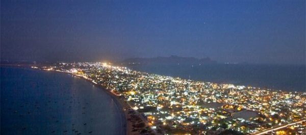
Islamabad: The authorities concerned have drafted Gwadar’s Master Plan, according to a news report. The new blueprint envisages a narrow area of 310.62 sq km, scheduled for development.
The larger planned area extends to a total of 1201.15 sq km, which has been divided into three categories. These categories include a development area, a restricted area, and an area reserved for other uses.
Read: GDA to revise Gwadar’s master plan
Of the 310.62 sq km dedicated for development, 103 sq km have been allocated for residential districts. Overall, 33% of the city will be utilised for residential purposes. The restricted areas will include 42.77 sq. km of military land on which various facilities will be constructed.
The master plan proposed 64.52 sq km for the establishment of an industrial area, and 4.67 sq km for setting up of warehouses and logistical facilities.
After the draft is approved, the ban on new real estate projects in the city will be lifted within two months. Currently, Gwadar Development Authority (GDA) is not issuing any NOCs. The reason behind this is to ensure that developed aligns with the Gwadar Master Plan.
To establish a Free Zone at Gwadar, the master plan proposes 13.19 sq km for the development of Gwadar Oil City. The business and commercial land under the proposed master plan will reach up to 19.2 sq km. Moreover, 11.86 sq km land has been earmarked for establishing administrative facilities.
A further 22.51 sq km will be allocated for recreation and entertainment-related facilities in Gwadar city. While the city’s transport facilities will be spread over an area of 53.07 sq km.
Two drafts of Gwadar Master Plan have been prepared. These will be presented before the steering committee headed by the Minister for Planning.


